Salishan Spit, Feb 7th

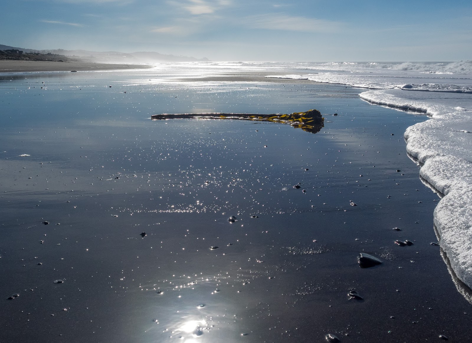
As with last year, when we went to the coast for the weekend for Val’s company holiday party, we planned for a hike nearby. Knowing the weather was going to be gorgeous, something that can be a hit or miss in February when it’s still supposed to be winter, we picked a hike to the Salishan Spit. This is not an actual trail but rather a very long, straight coastal line so you’re pretty much walking a long beach. Since we were pretty close, we took or time having breakfast and the headed to the entry point somewhere between houses. Once on the beach is pretty simple, just walk north and follow the coast line. It was a very relaxing walk as you hear and see the waves crashing on the shore and the white foam as it crawls on the sand. We saw little birds that looked like they were playing with the waves as they would run towards the water when the waves receded and then run the opposite direction when the wave was coming in. Being an unusually warm day, I took my shoes off and continued waling bare feet. Towards the end of the spit, after passing some private property you reach the end of the spit where Siletz River drops its waters in the Pacific Ocean. At that point, in a very wide sandy area, we found sea lions sun bathing. I got as close as I could without disturbing them to take a couple of pictures and noticed some of the playing in the water and peeking over to check us out. WE explored a bit around the Siletz bay before making our way back the same way we came. While going back, we noticed the tide was much lower so we had an even bigger beach under our feet. It was a very nice walk under the sun.


Interactive map

To see the full map, click here

Metolius River, Jan 23rd

For Val’s birthday weekend we rented a cabin in Camp Sherman right next to the Metolius River. Our original plan for the day was to drive up towards Black Butte and hike to the top. The morning didn’t look good but the forecast was announcing that it was going to clear so we thought there was potential for views. While trying to get to the trailhead, we got stuck in snow and had to spend a bit over an hour getting it unstuck and moving using braches and a shovel. Long story short, we drove back to the cabin and decided to hike along the Metolius River. We started from a trailhead located right across from the Camp Sherman General Store heading north. The first part of the hike goes right on the border of the river where numerous camps sit next to each other. In the summer these get full with fishermen that pretty much can get out of their cabins and cast from there. Not long after that we left the campgrounds behind and started hiking on pristine forests with the river right next to us. There was a bit of snow on the ground but not enough to impede our progress. AS we hiked, we noted the river sinking into the ground as the side walls started to grow. We were entering a small canyon. The trail took a turn to get on the high side. From it would could hear the rapids below us but almost no views of it. And then we found a fence with a no trespassing sign. So we followed what looked like a path following the fence around it. We found a dirt road and took it around the property and discovered it was the boundary of the Smiling River campground. Once we got to the other end we saw a path going back towards the river so we followed. We lost the trail at that point but knew we were on the right path. As we saw the terrain starting to go down to the river we veered a bit to the east and got back on the trail. We were still pretty high above the river and the only visible thing was a ridge on the other side. We found a junction without a sign but the trail going down over a switchback looked more traveled so we took that. It took us down to the river and continued on the river edge. I can say this part of the hike was the most interesting one. The river was not as wide but running pretty fast with clear blue waters. Along the trail the rocky sides covered in snow and moss looked amazing. It didn’t seem thee was a way to get out of the canyon but then the sides started getting lower. From the map I knew there was supposed to be a waterfall on the other side of the river. We kept looking for it and past the point in the map where it’s supposed to be but never saw it. By then we were a bit tired and the days was wearing thin. Once we saw the bridge that goes over to Wizard Falls we took a turn heading towards the road. From there we had the choice to head back retracing our steps or take the easier path on the paved road back to Camp Sherman. It was a long walk on a very hard surface but with great scenery. We finally got back to Camp Sherman with enough light to check the general store before heading back to the cabin. It ended being an excellent hike with much better weather than what the forecast was predicting.


Interactive map

To see the full map, click here

Wilson River Wagon Road, Jan 16th

While waiting for snow and watching as the weather was just dumping water, Val and I started to look for other places to hike. We found a trail that uses some old roads in the Tillamook Forest so decided to go check it out. Getting there was much easier than what I had expected. Some of the hikes in the Tillamook Forest and buried inside the mountain so they are not easy to get to, and you get the un-official camp where big trucks, tents usually appear with the accompanying sound of gun fire. We didn’t get the distraction this time perhaps because it was raining, even though we did see the big camps trailers here and there. The bad side was that, with the rain, we were not able to really enjoy the scenery much. Most of the hike was either in a dense forest or around a service road. The highlight was a detour we took to go check out University Falls. After the fall, we close a short lollipop loop to then head back to the car. Luckily we had towels and a change of clothes as we got drenched. I’m guessing we can check this trail again sometime


Interactive map

To see the full map, click here